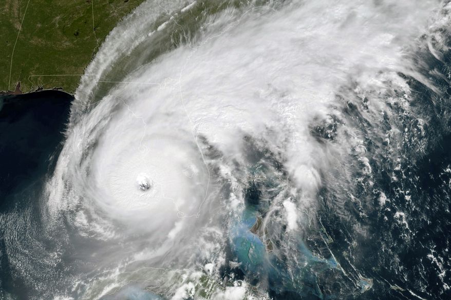
This GOES-East GeoColor satellite image taken at 12:01 a.m. EDT on Wednesday, Sept. 28, 2022, and provided by the National Oceanic and Atmospheric Administration (NOAA), shows the eye of Hurricane Ian approaching the southwest coast of Florida. Hurricane Ian's most damaging winds began hitting Florida's southwest coast Wednesday, lashing the state with heavy rain and pushing a devastating storm surge after strengthening to the threshold of the most dangerous Category 5 status. (NOAA via AP)
Featured Photo Galleries

Trump Transition: Here are the people Trump has picked for key positions so far
President-elect Donald Trump has announced a flurry of picks for his incoming administration. Get full coverage of the Trump transition from The Washingon Times.

Trump dances onstage, takes post-election nation by storm
President-elect Trump dances onstage


