This combination of May 22, 2020, left, and June 23 satellite images provided by Maxar Technologies shows construction in the Galwan river valley near the disputed border known as the Line of Actual Control between India and China. On Monday, June 22, military commanders of both nations agreed to disengage their forces in the disputed area of the Himalayas following a June 15 clash that left at least 20 soldiers dead. (Maxar Technologies via AP) Satellite image copyright 2020 Maxar Technologies
Featured Photo Galleries

Trump Transition: Here are the people Trump has picked for key positions so far
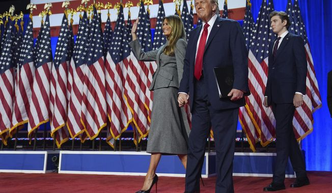
President-elect Donald Trump has announced a flurry of picks for his incoming administration. Get full coverage of the Trump transition from The Washingon Times.

Trump dances onstage, takes post-election nation by storm
President-elect Trump dances onstage
